Beano's Back To School 5 Minute Cheat Sheet: Geography
Do you need to be a geographical genius at a moments notice? Then prevent the plight of the panicking pupil with our handy five minute cheat sheet!
When you woke up and got ready for school, was there something you needed to do this week but couldn’t quite remember what it was? Bad news, you were supposed to prepared for a geography quiz and it’s today!
Don’t worry! Geography is the study of places, people and their environments and this five-minute cheat sheet will help you brush up on the basics about this massive planet of ours. Ready? Then get stuck in!
The First Geographer
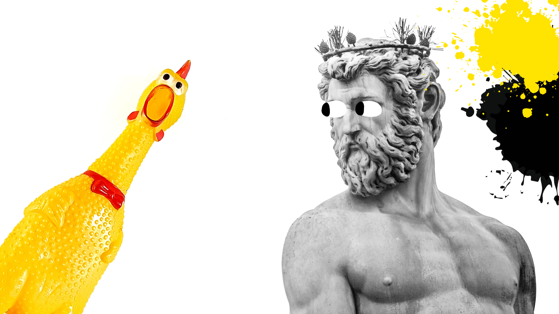
Between 276-194 BC, the Greek scientist Eratosthenes was the first person who used the term ‘geography'. Because of this, Eratosthenes is often called the 'Father of Geography'.
He was the first person to draw a map of the world, and he was an astronomer, poet and mathematician. Eratosthenes also somehow managed to calculate the world's circumference, even though people didn't even know for sure that the world was round!
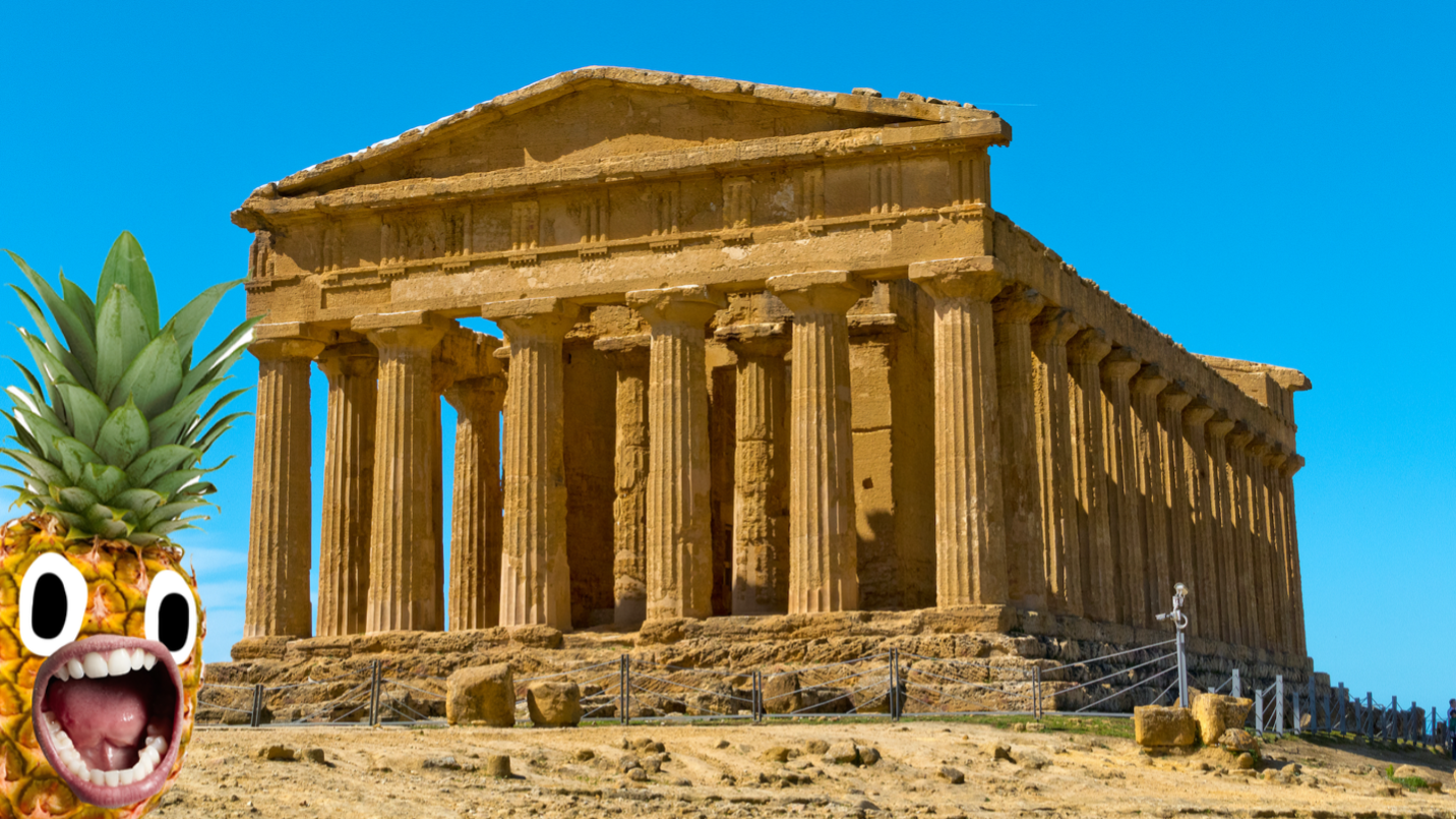
History of Geography
Okay, so here's the history in a nutshell. The term ‘geography’ comes from the ancient Greeks, who needed a word to describe the writings and maps helping them make sense of the world in which they lived. In Greek, ‘geo' means ‘earth’ and ‘graphy' means ‘to write’. Using geography, Greeks developed an understanding of where their homeland was located in relation to other places, and how people and environments were distributed. These ideas have been central to geography ever since!
Types of Geography
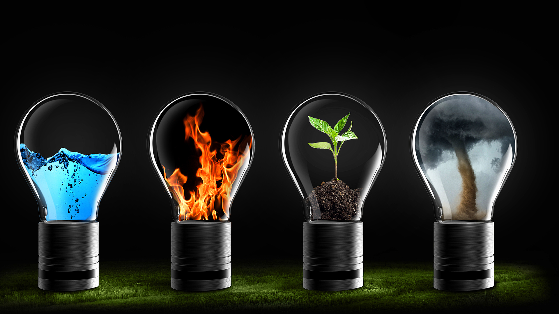
Physical geography is all about nature. This includes the study of things like oceans, mountains, valleys and other features of the landscape.
Human geography looks at things like how many people live in each place, their culture, and how it changes. It explores the impact of people on the Earth.
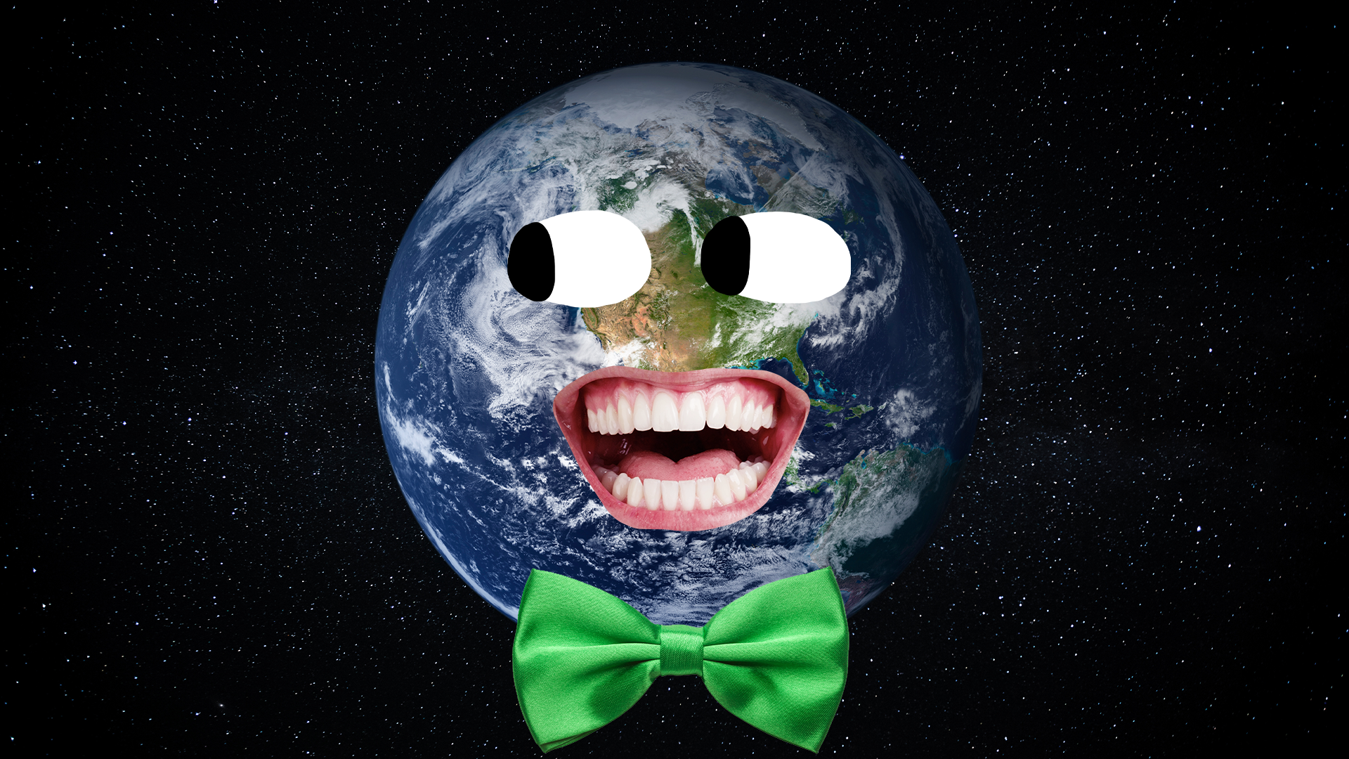
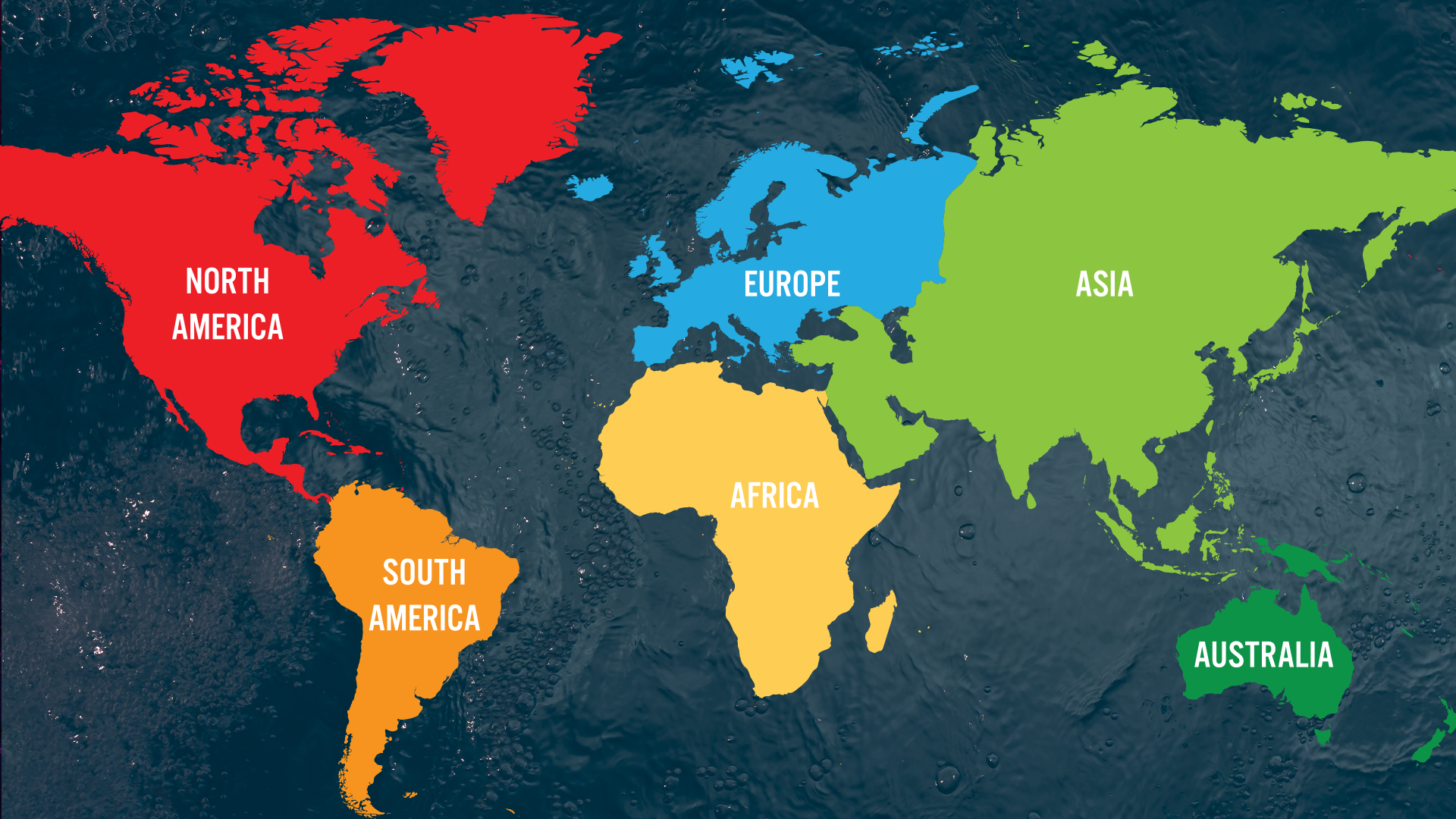
Continents
The world's continents are North America, South America, Africa, Asia, Europe, Australia and Antarctica. Around the middle of the Earth, the continents are much warmer. This area is called the equator - it's hotter because the Sun's heat hits the Earth more directly at this point.
People live on all seven continents, but not many live in Antarctica because it's so cold! People generally only live there if they want to study the frozen landscape.
Small Countries vs Big Countries
Describing a country as big or small seems straightforward, right? Wrong! The size of a country can mean two things: how much space it takes up OR the number of people who live in it.
Some countries take up lots of space, but not many people live there. By the same token - some countries look very small on a map, but have a big population!
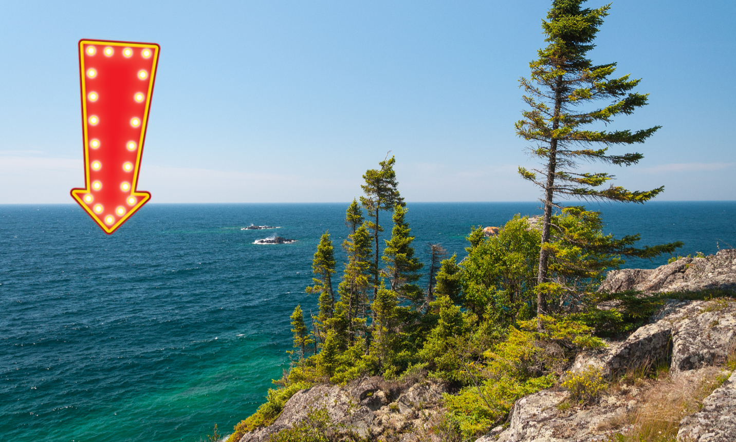
Deep Oceans
About 71% of the Earth is covered in water, and the ocean's average depth is 2.3 miles or 12,100 feet. But the sea gets a lot deeper than that in some places. In the Pacific Ocean, explorers discovered the Mariana Trench, and inside THAT, they found an even deeper spot called Challenger Deep. It's estimated that the deepest point is about 36,200 feet, but it is hard to know for sure. Historically, there are four named oceans: the Atlantic, Pacific, Indian, and Arctic. However, most countries now recognise the Southern (Antarctic) as the fifth ocean.
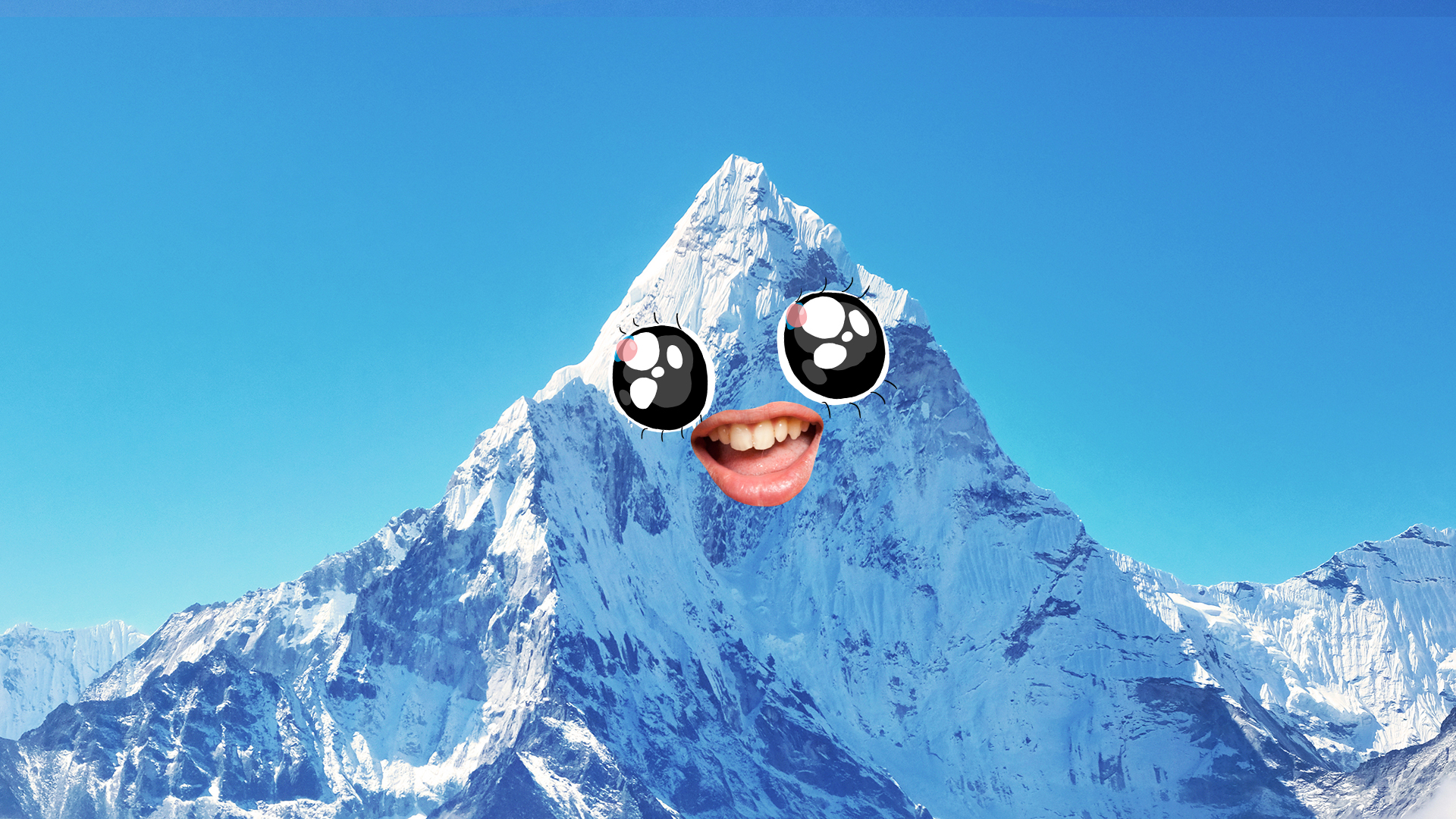
Tall Mountains
The largest mountains in the world are CRAZY tall. Mount Everest is the tallest, standing about five and a half miles (29,032 feet) above sea level. The second tallest mountain, K2 - is 28,251 feet tall.
These tall mountains reach the top of the troposphere, which is the layer of the sky closest to the ground. The air there is very thin and has much less oxygen than we do down here.
That's why people who climb Mount Everest bring oxygen tanks. Even then, it's perilous!
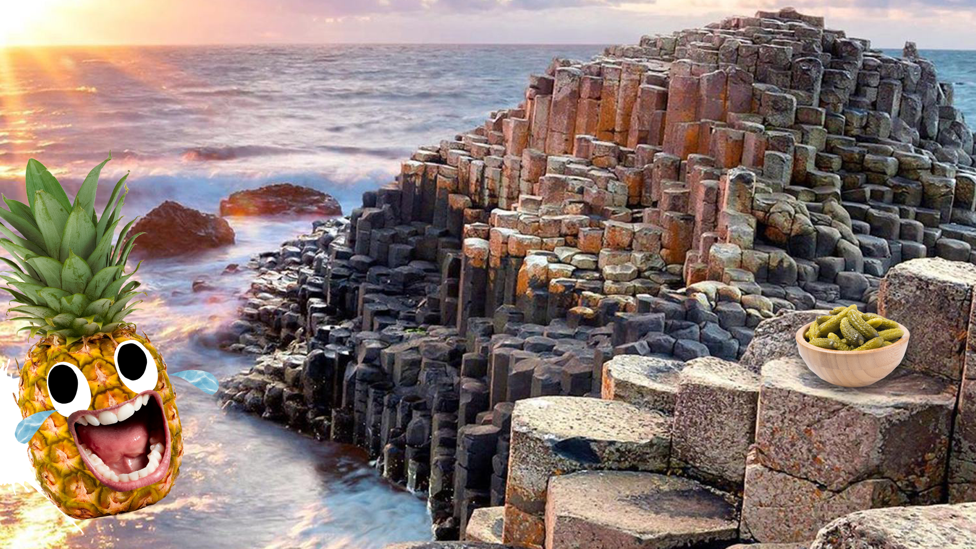
Rock Formations
This pretty much always comes up at some point, so you may as well remember it now. There are three main types of rocks: sedimentary, igneous, and metamorphic. Each of these rocks are formed by various physical changes - such as melting, cooling, eroding, compacting, or deforming. Rock on!
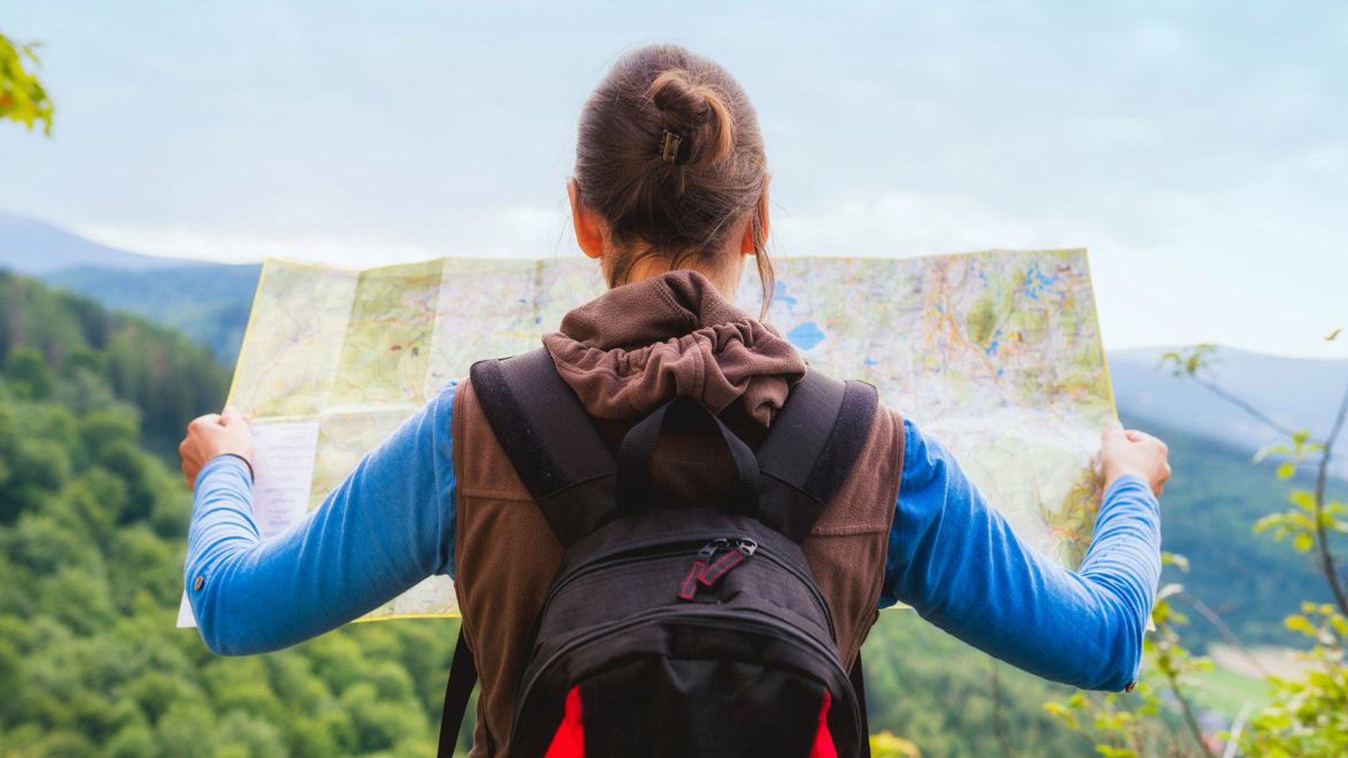
Maps
Mapmaking, or cartography - has been instrumental to geography throughout the ages. Today, almost the Earth's entire surface has been mapped with remarkable accuracy, and much of this information is available instantly online. So basically, explorer Marco Polo was an early human form of Street View. Cheers Marco! (Polo)
Capital Cities
If you need to display your geography skills, there's no better way than reeling off a capital city or two... that's some classic geography.
You’re going to want to be on nodding terms with the big capital cities, so here’s a handy list of some of them to get you started!
Austria - Vienna
Argentina - Buenos Aires
Belgium - Brussels
Canada - Ottawa
China - Beijing
Denmark - Copenhagen
Egypt - Cairo
France - Paris
Germany - Berlin
Greece - Athens
Indonesia - Jakarta
Italy - Rome
Jamaica - Kingston
Japan - Tokyo
Kenya - Nairobi
Portugal - Lisbon
Russia - Moscow
Spain - Madrid
Sweden - Stockholm
USA - Washington D.C.